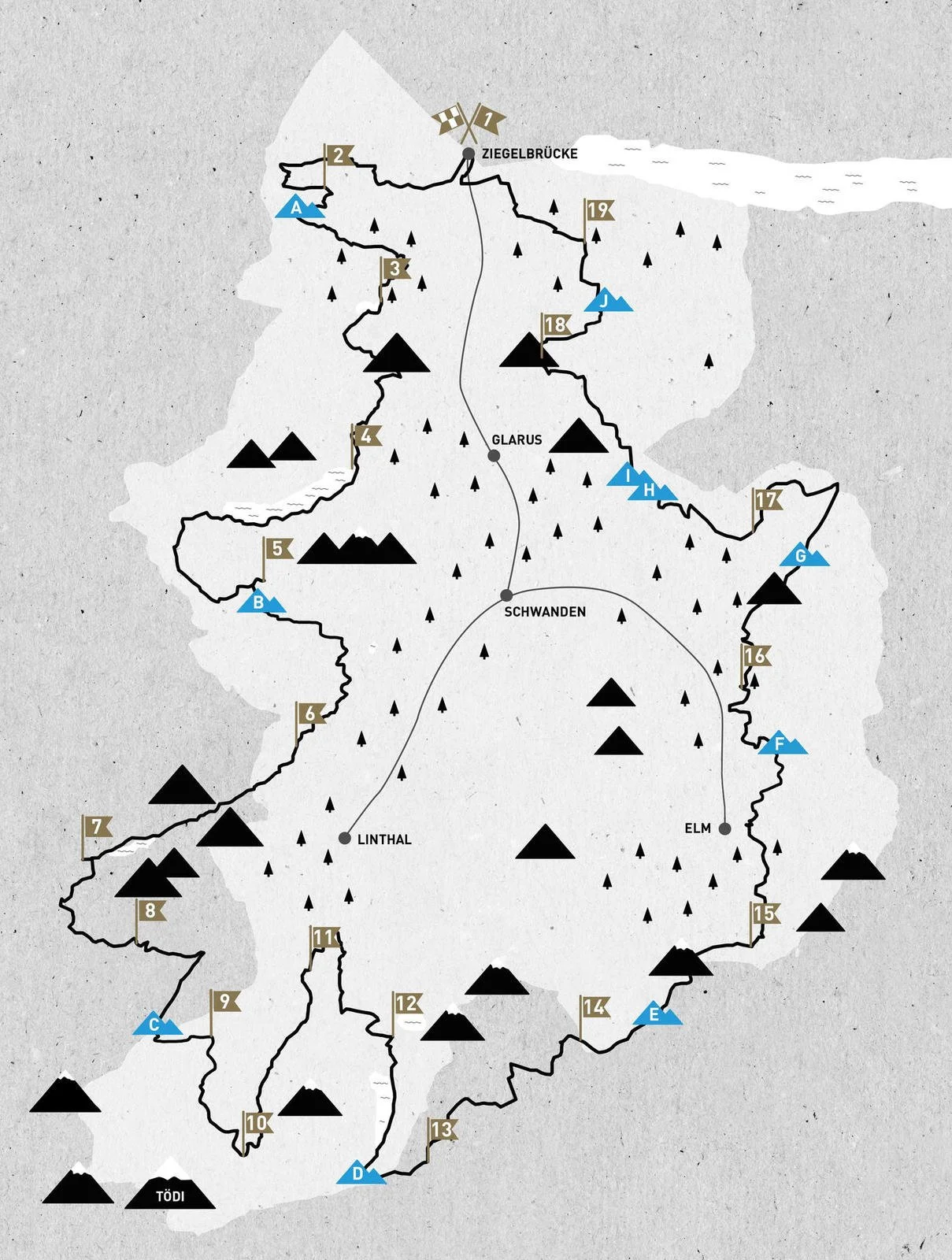
The brand new Via Glaralpina long distance hiking trail leads for 230km around a spectacular and lightly-trodden region of Switzerland.
At 3158m, Hausstock is one of the highest peaks in the Glarus region.
An uncrowded and spectacular alpine hut-to-hut route.
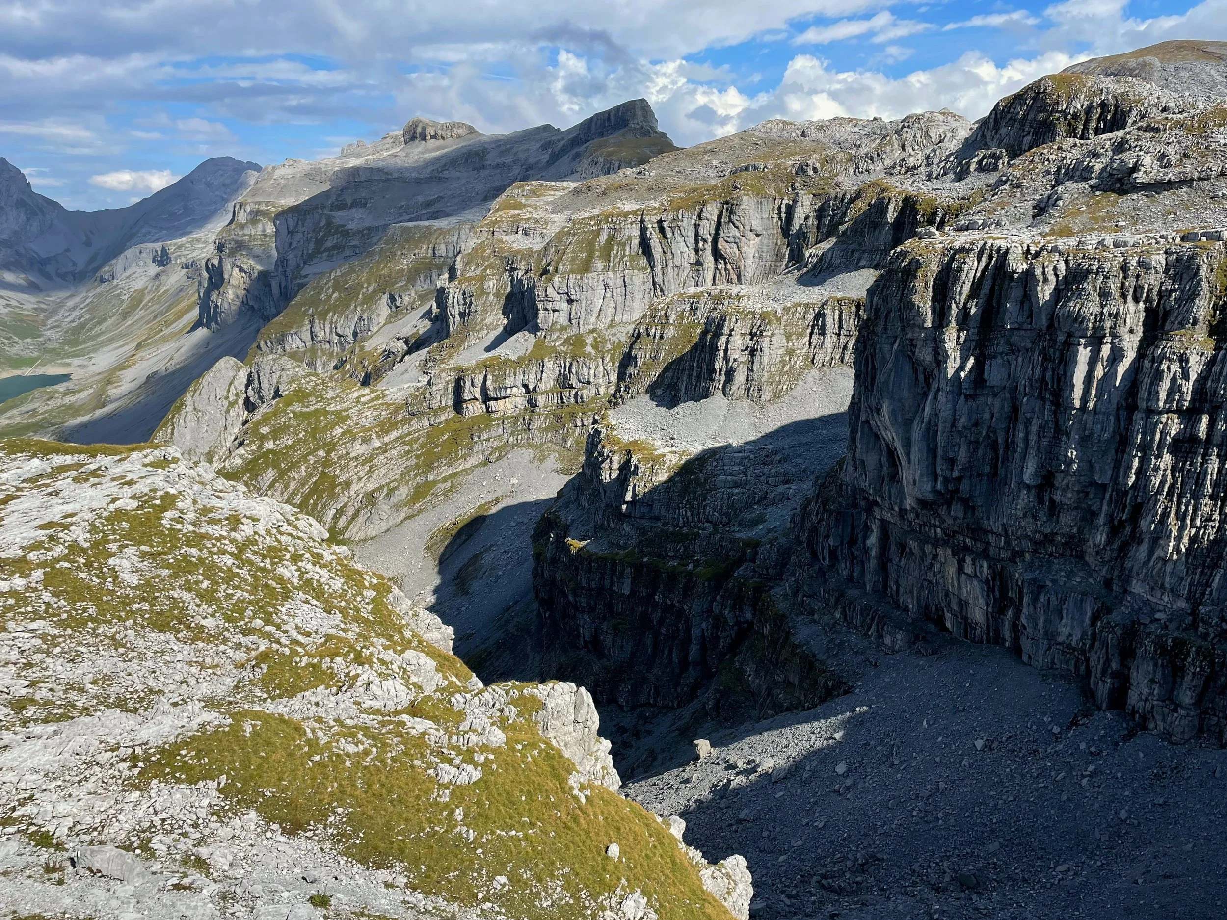
The alps in the Swiss Canton of Glarus are also known as the Glarnerland. These mountains are steep and hide many geological secrets. The head of the Sernf Valley is a UNESCO world heritage site because of its tectonic history and the wealth of different rock formations displayed within its iconic cliffs.
Glarnerland’s terrain makes for challenging hiking. The entire Via Glaralpina covers a distance of 230km, and this includes about 20,000 metres of ascent. Some sections of the route follow exposed alpine trails (sometimes equipped with chains) that were created specifically for the VGL. There are frequent huts along the route, and possibilities to bypass some of the most technical stages. Even so, the Glaralpina isn’t an easy trail for those without some previous alpine hiking experience.
I chose to begin my attempt in the Sernf Valley, which was easily accessible by train and bus from Zurich airport.


Walkers will come across many official Via Glaralpina way-markers during their 230km journey.
The Canton of Glarus is located in central eastern Switzerland, and the VGL circumnavigates its borders.
The Via Glaralpina is divided into nineteen stages. There are frequent huts and points of public transport along the route, and it can easily be hiked in shorter sections.
“Hiking in Glarnerland means wilderness, adventure and many encounters with wild animals.”
Gabi Aschwanden- Via Glaralpina project leader.
Established in 2020 by a close-knit team of local hikers and hut workers, the Via Glaralpina circumnavigates the Glarus Alps in Switzerland, also known as the Glarnerland.
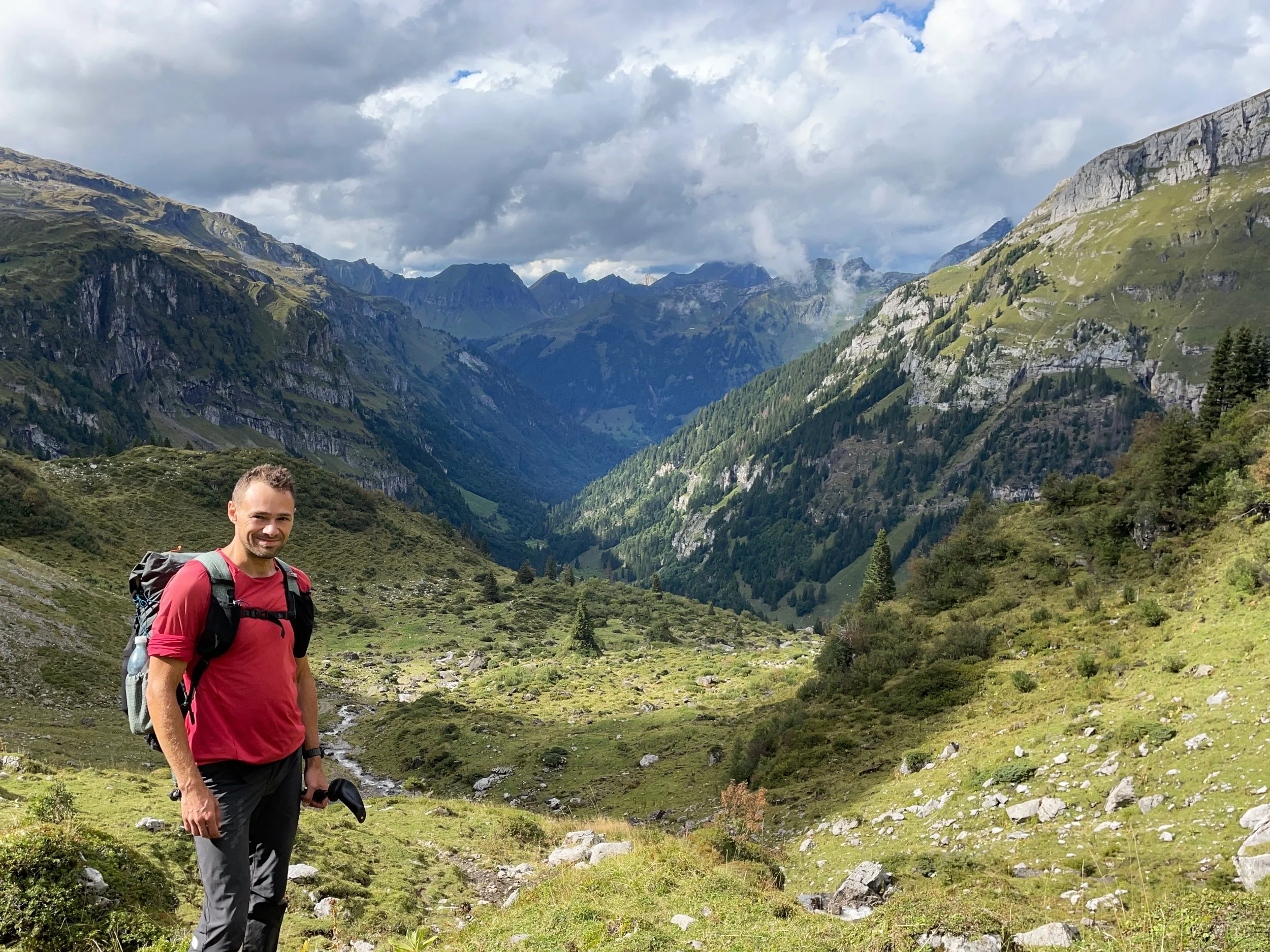
I completed the trail in the summer of 2022, and spoke to two of its creators. I came away with a deep sense of attachment to this fascinating and overlooked region of the Alps.
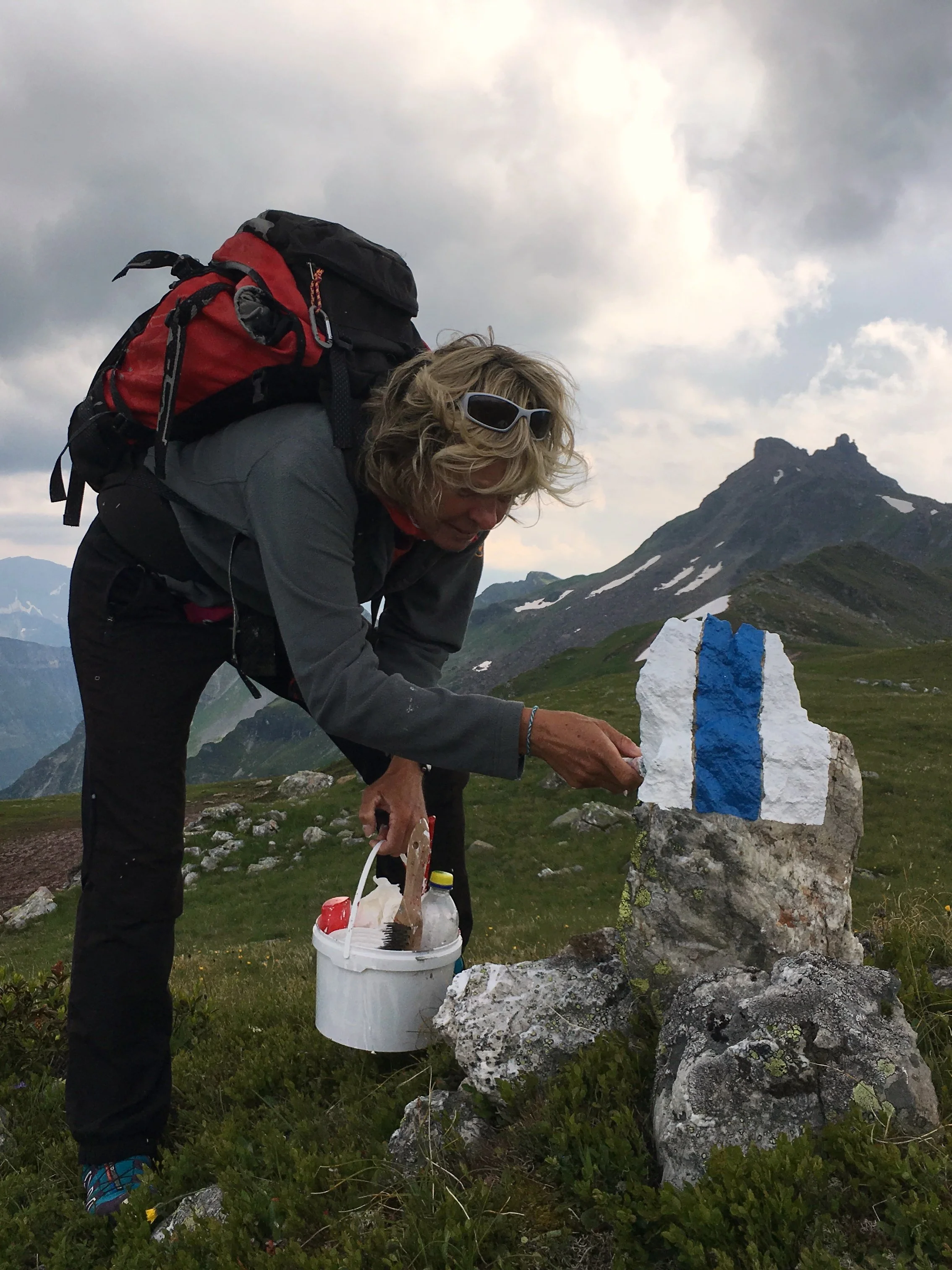
Gabi Aschwanden painting marks on one of the many newly-created alpine trails on the VGL. Photo credit: Heidi Marti.

The Mären Plateau is the largest karst limestone area in Switzerland at around one hundred square kilometres, and provided one of the most memorable days on the VGL.


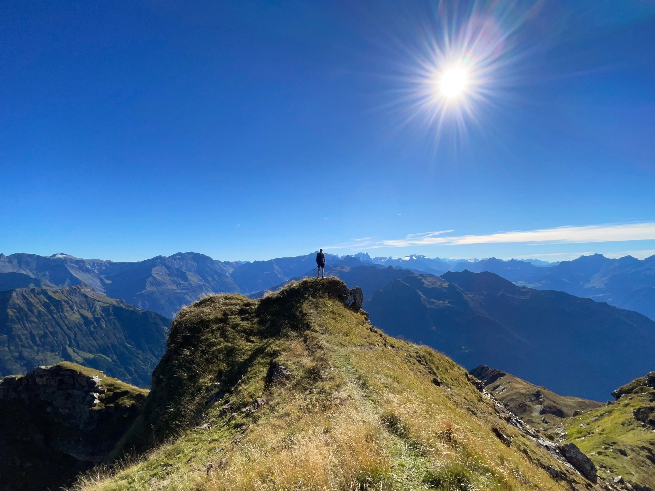
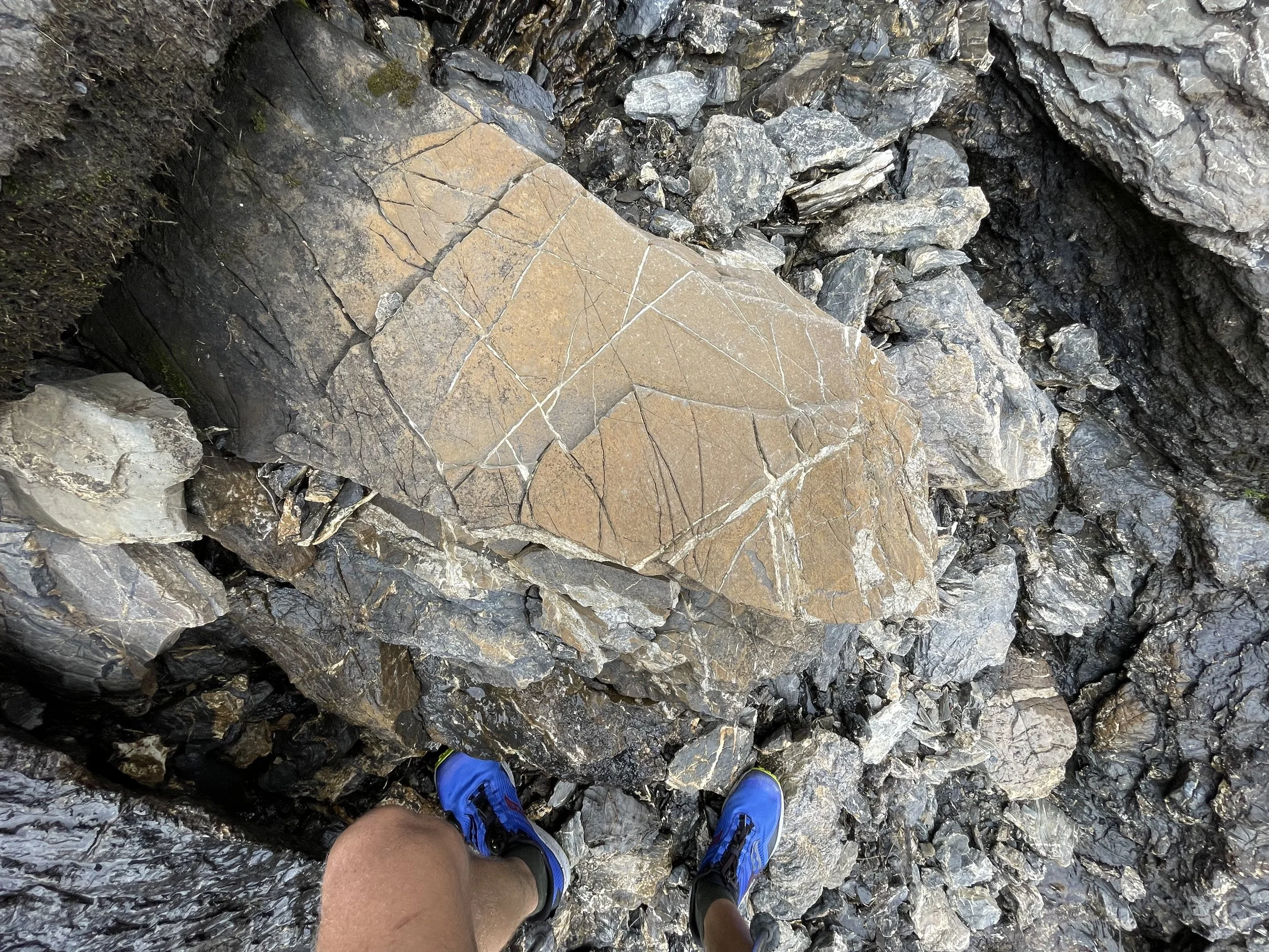
Steep, spectacular and quiet: the Glarus Alps are a hidden gem in Switzerland. During my nine-day hike along the Via Glaralpina, I wandered through lush alpine meadows to lakes nestled in the forest. Instead of only sticking to the valley floors, the Glaralpina led me beside glaciers and along mind-bending ridges of folded rock. Beneath my feet, a world of fossils and layered rocks opened my eyes to the deep time that had carved the landscape.
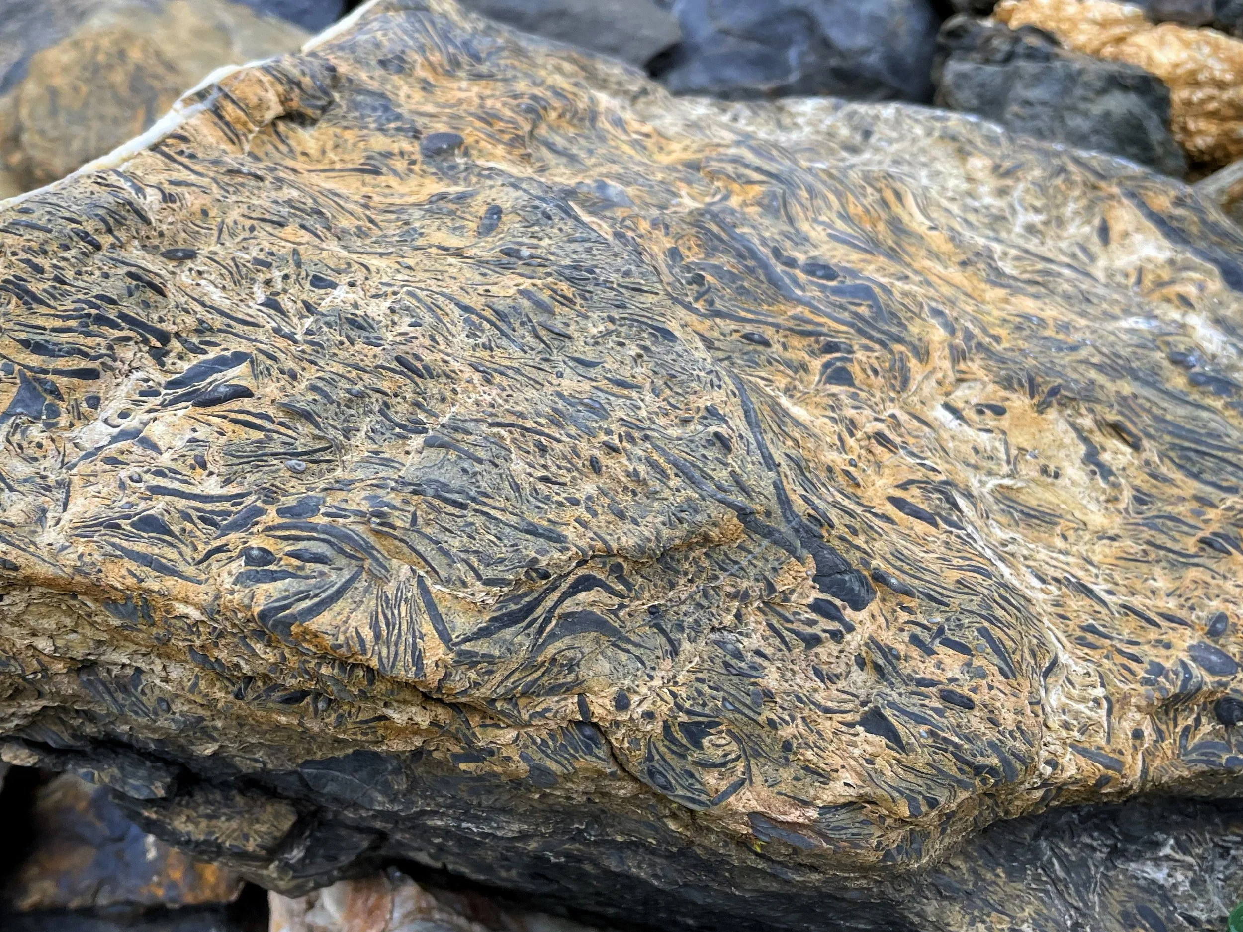
“Nummulite - limestone from tertiary time (45 million years ago). A nummulite is a large lenticular fossil, characterized by its numerous coils, subdivided by septa into chambers. They are the shells of the fossil and present-day marine protozoan Nummulites, a type of foraminiferan.” geologist Dr. Mark Feldmannn.
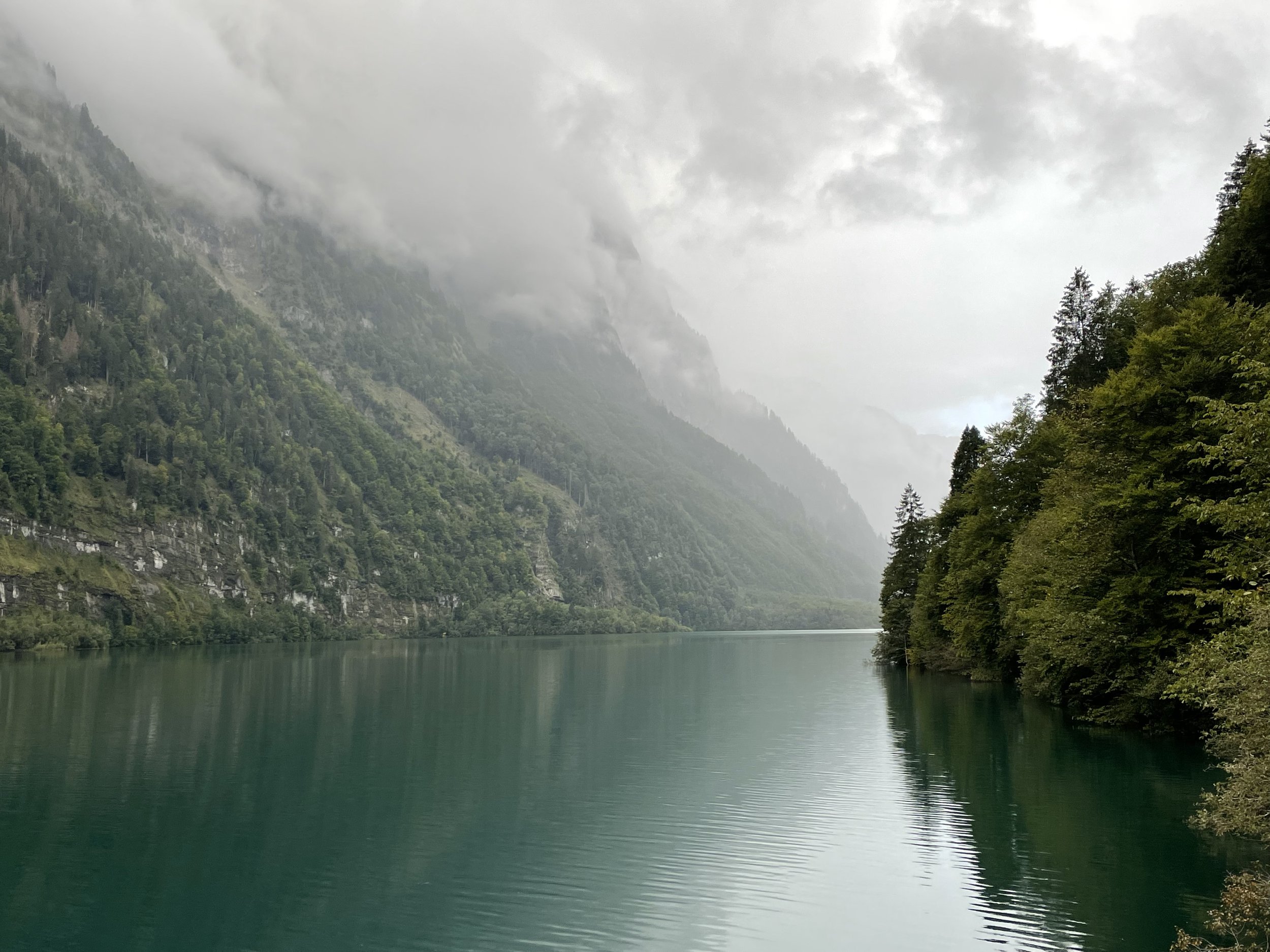

The Klöntalersee was one of several stunning glacial lakes that lay along the VGL.
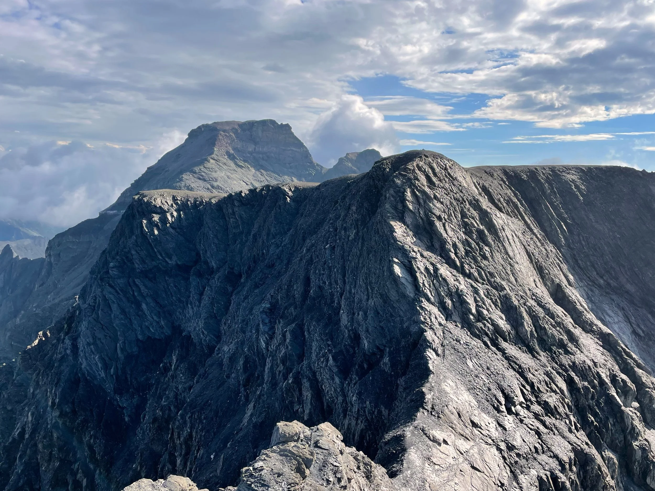
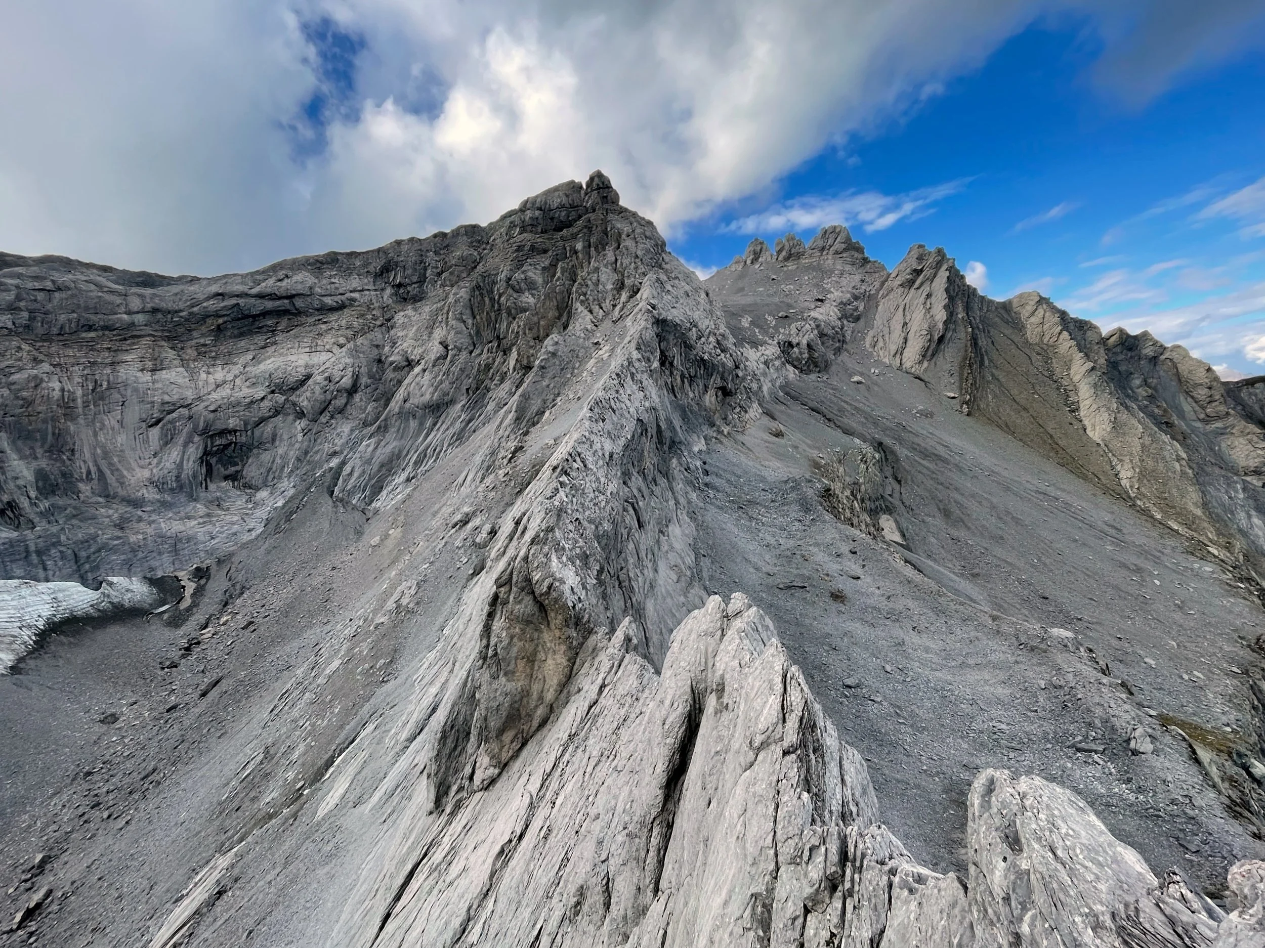
One of the most challenging sections of the route led across the edge of the Clariden Glacier. This stage took me amongst the highest peaks in the Glarus Alps.
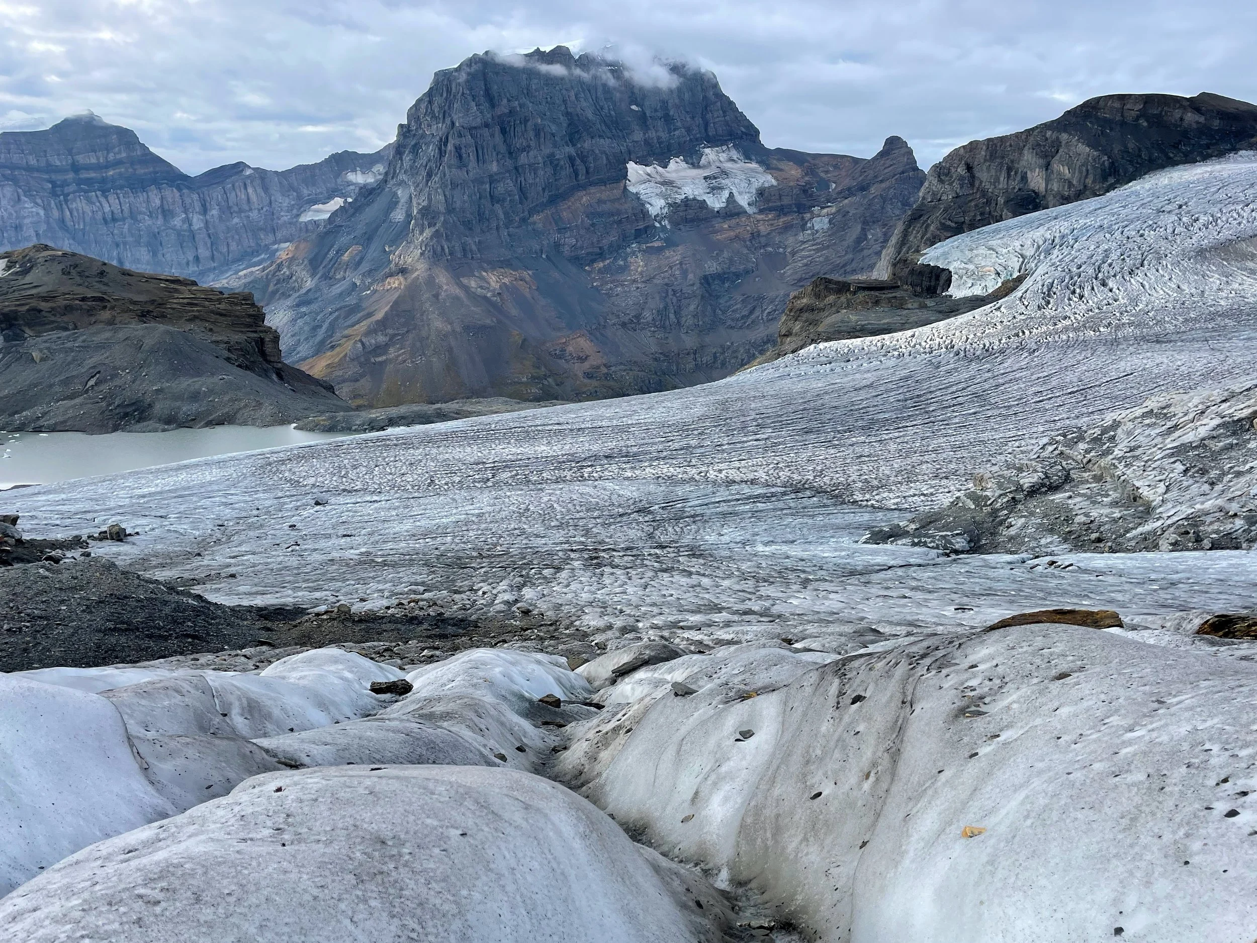
Walking along the edge of the Clariden Glacier during one of the most challenging stages of the VGL.
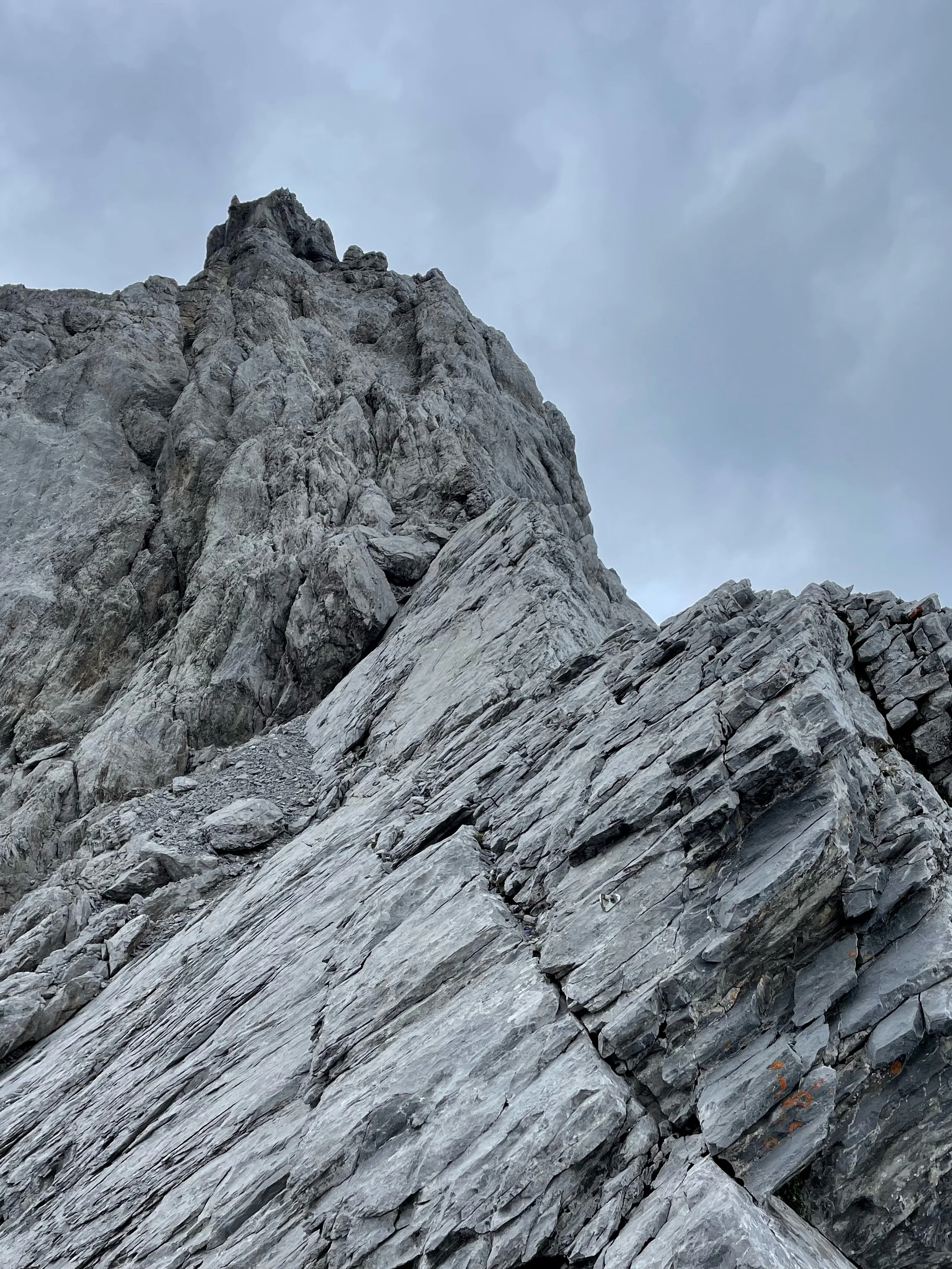
As well as following the Glaralpina, my journey also included several mountaineering routes. The most spectacular of these was an exposed scramble along the east ridge of Gletscherhorn. As my hands clung to the serrated limestone knife-edge, I scrambled through rock strata exposed by compressions of tectonic plates over millenia. It gave me a vivid grasp into how mountains are formed- something that I’d never appreciated before.
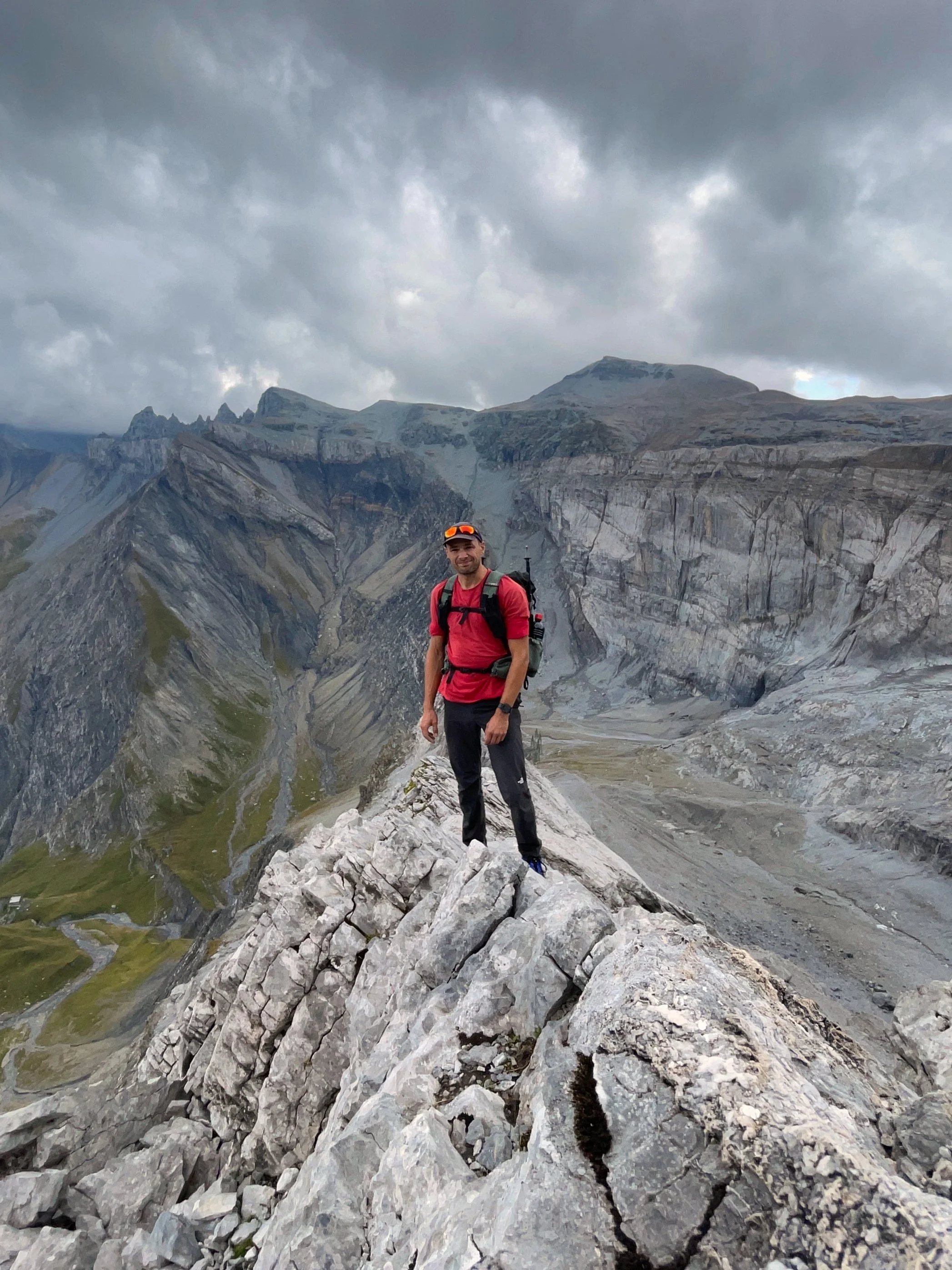
Soloing the east ridge of Gletscherhorn -which was equipped with bolts and abseil points- in my running shoes and carrying full camping gear, I ventured beyond the scope of the Via Glaralpina and into mountaineering territory. The knife-edge ridge led me into the heart of the dramatic and steep terrain that makes Glarus so unique.
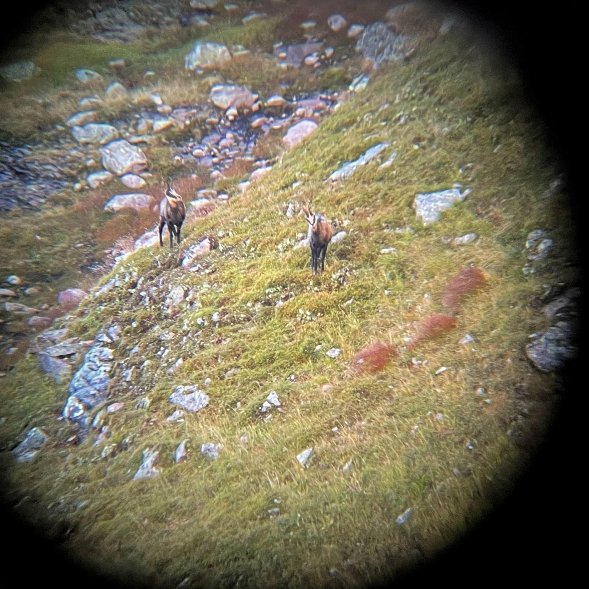
Unlike many neighbouring regions, the steep topography in Glarus doesn’t lend itself to the development of large ski resorts. It has helped to prevent the area from becoming over-crowded or over-developed by tourism. I enjoyed solitude on trails mostly visited by local tourists on the weekends, and my sightings of wildlife included Golden Eagles, a Chamois and Ibex.
I carried a lightweight monocular on my hike, and it was fantastic for watching chamois as they grazed on the high meadows and steep slopes. I even used it to take this photo!

Glassy lakes and silent plateaus stretched out for miles beneath the ridge line of Gufelstock. All signs of human existence seemed to vanish during these sections of the journey.
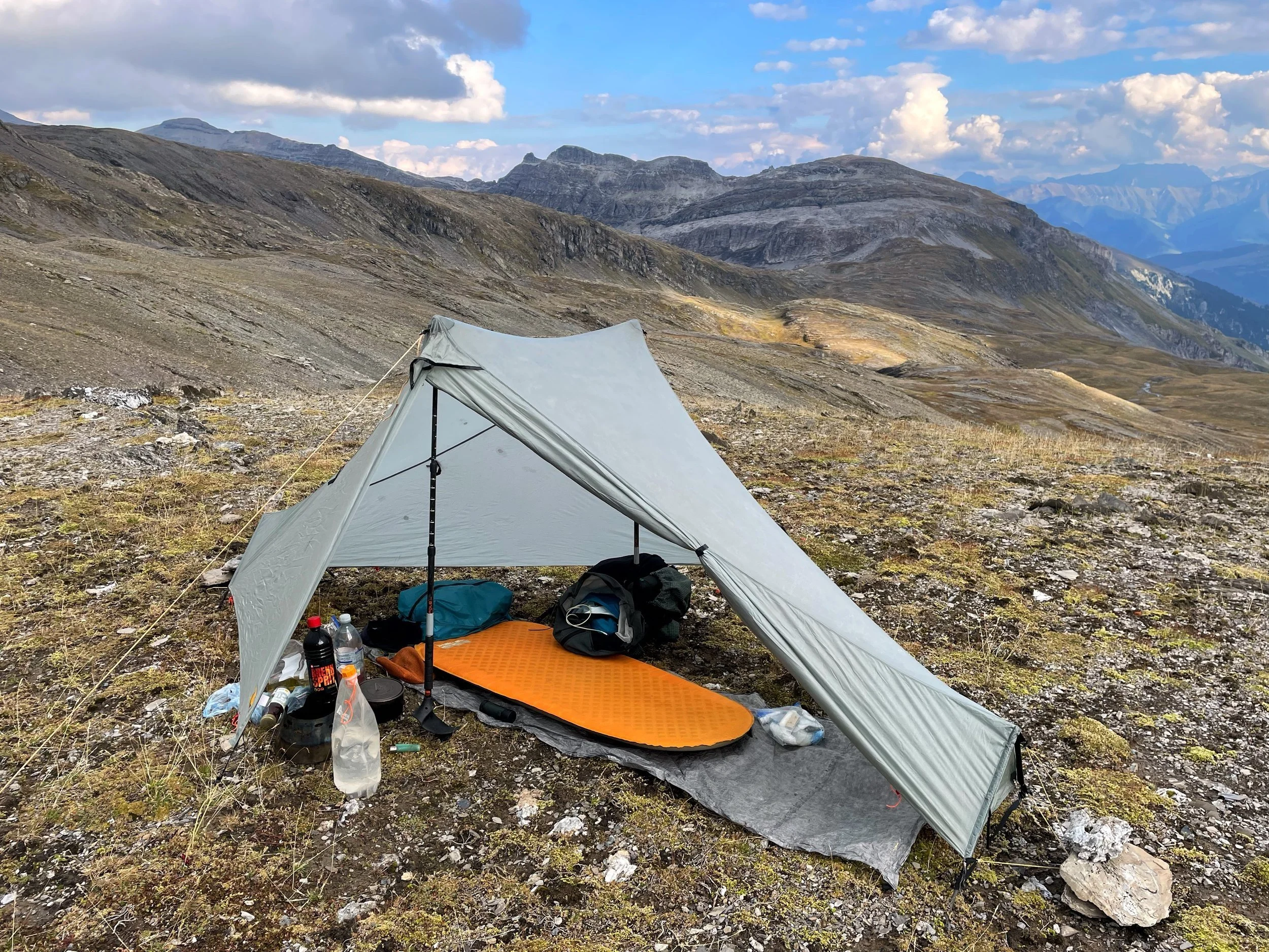
On day 6 of my hike, extremely high winds overwhelmed my tent during the night. I was forced to seek shelter a t a nearby farm. It was here that I met Bruno- a kind dairy farmer who invited me to sleep in his barn!
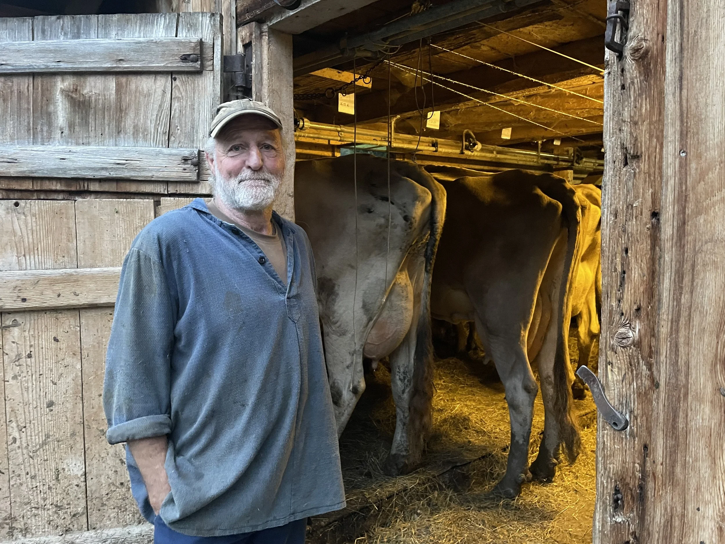
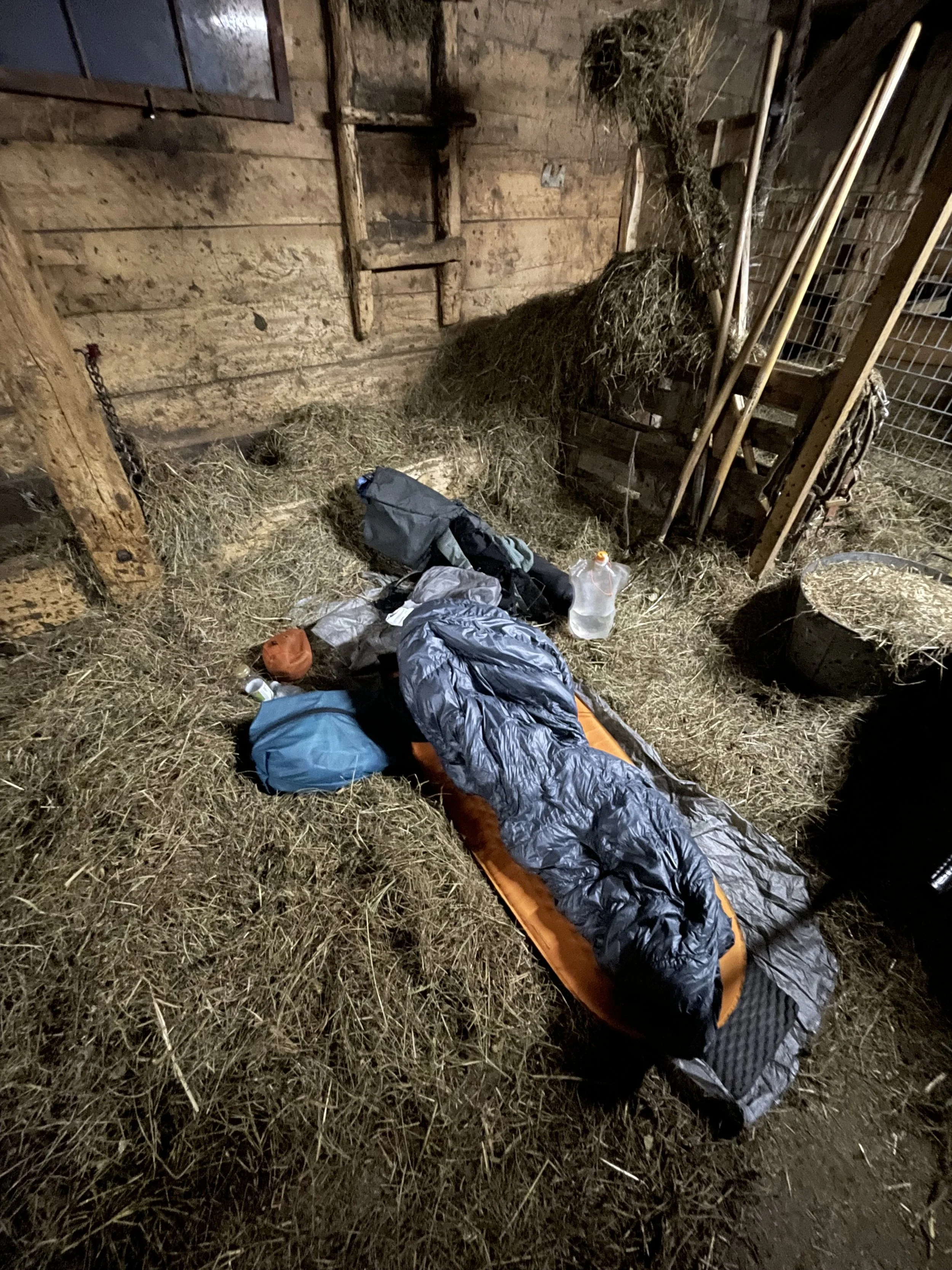
I’d walked past so many similar farms during my trip, and it was great to watch Bruno and his colleague milking the cows in the morning. Switzerland is still a proud farming nation, with tighter rules on animal welfare and ethical farming practices than many other western countries. The quiet valleys of Glarus in particular felt completely untouched by factory farming or large scale developments. It was peaceful and quiet.
